ГИС: BIM and GIS Integration: Bringing Together Geospatial Data and Design - видео HD

Для существования нашего сайта необходим показ рекламы. Просим отнестись с пониманием и добавить сайт в список исключений вашей программы для блокировки рекламы (AdBlock и другие).
12n.ru 19143 ролика
BIM and GIS Integration: Bringing Together Geospatial Data and Design - видео.
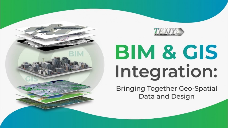
Building Information Modeling (BIM) and Geographic Information System (GIS) integration aids in the design of structures and infrastructure by taking into account the site's properties, such as vegetation, contour, wind force, temperature, sun path, etc. 65% of designers anticipate a good ROI from implementing BIM GIS integration. It helps architects and engineers to take quality data driven decisions. Watch this videos to know all the applications and benefits of BIM GIS integration.
Follow us on Social Media
Twitter: www.twitter.com/Tejjyinc
#GIS #BIMGIS #GISmap #GIS_integration #architect #construction #laserscanning @AutodeskInfrastructure


